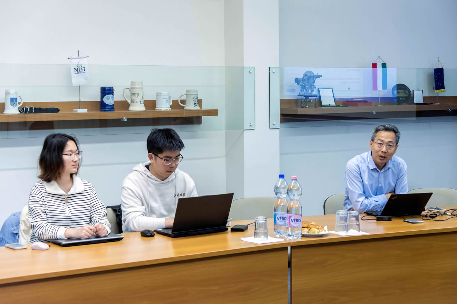
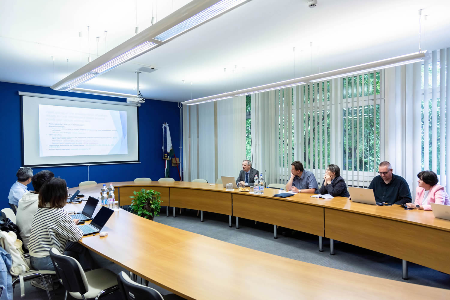
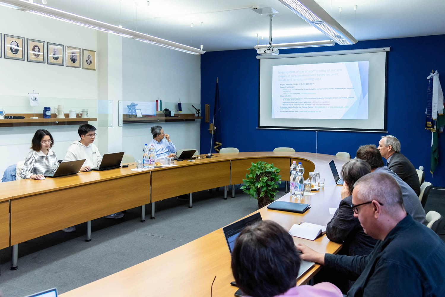
Investigation of the characteristics of surface shapes in rural environment based on point clouds and remote sensing data
Project ID: 2019-2.1.11-TÉT-2020-00171
| Program | |
|---|---|
| 8:00 - 8:15 | Introduction Prof. Meng Qingyan & Dr. habil. Tamás Jancsó |
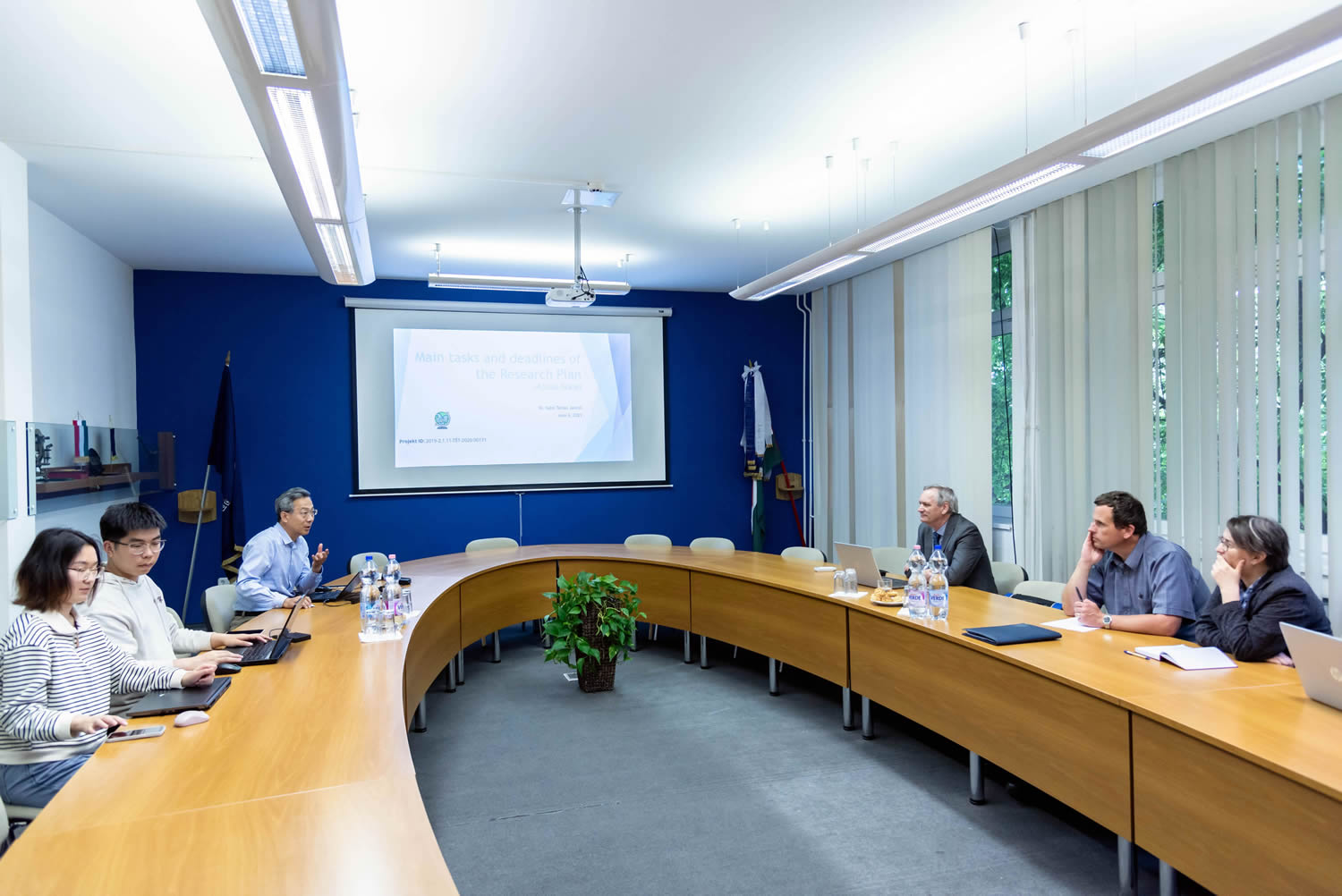
| 8:15 - 8:30 | Main tasks and deadlines of the Research Plan Dr. habil. Tamás Jancsó |
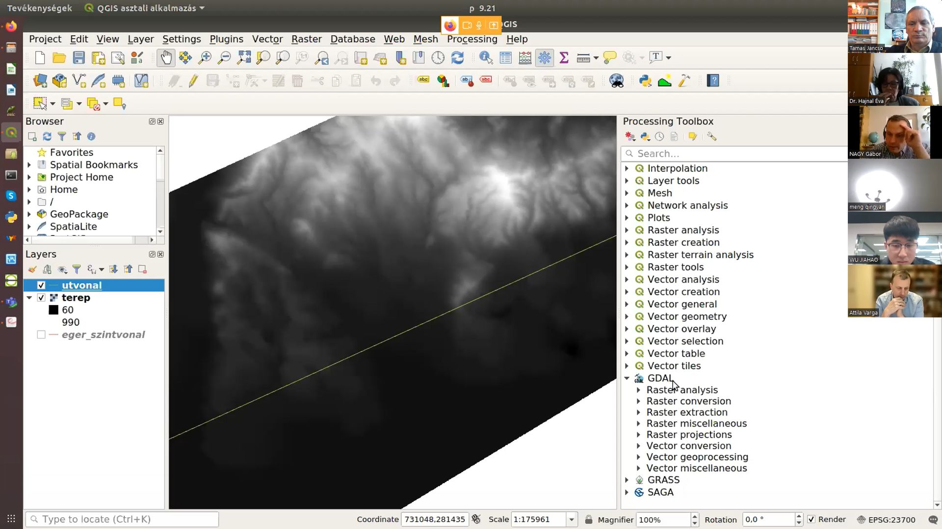
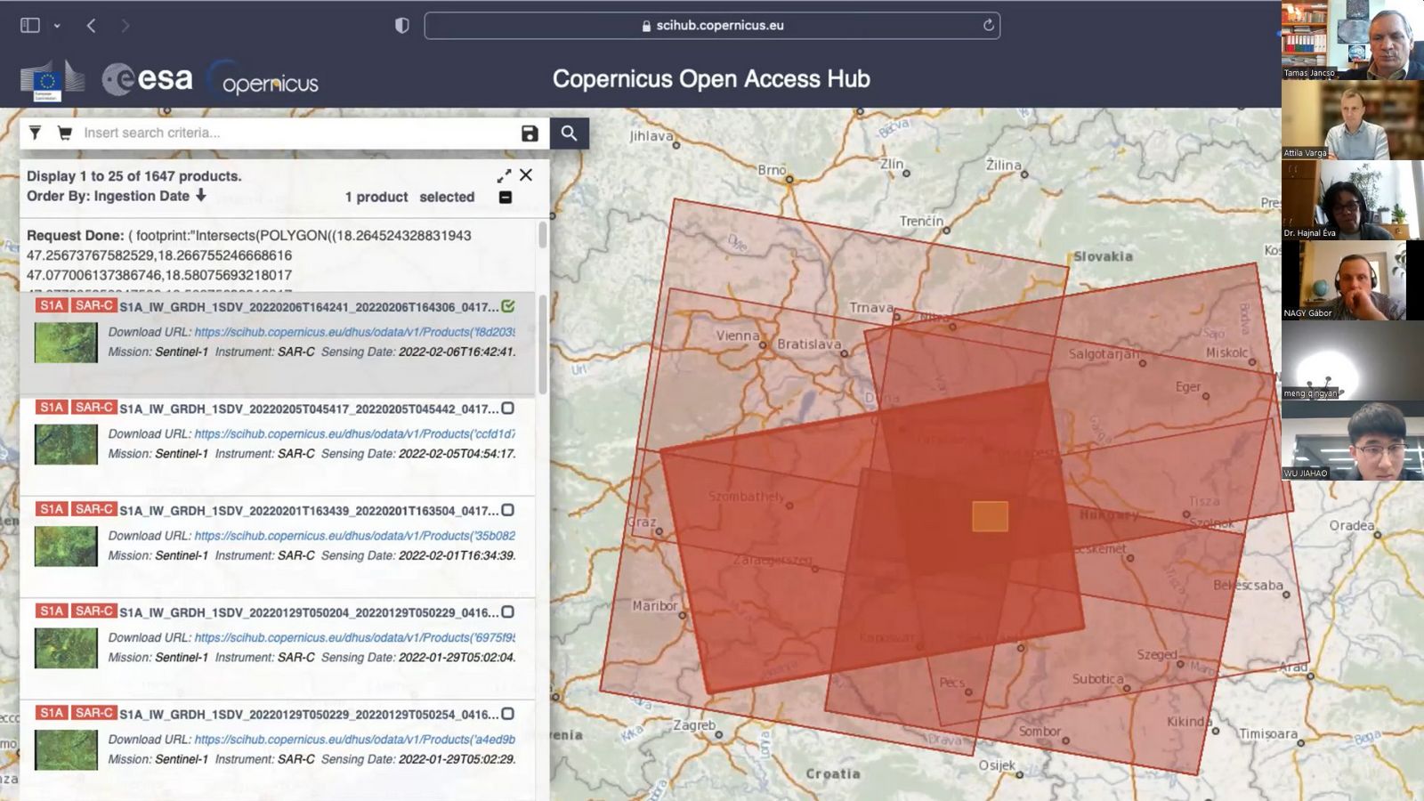
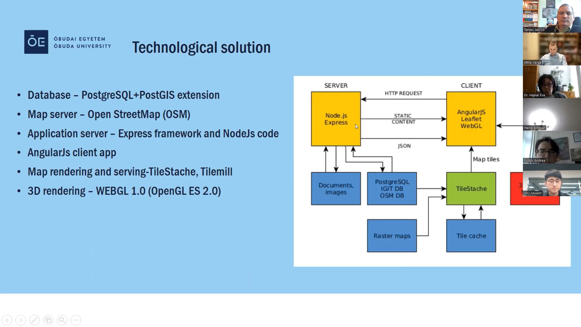
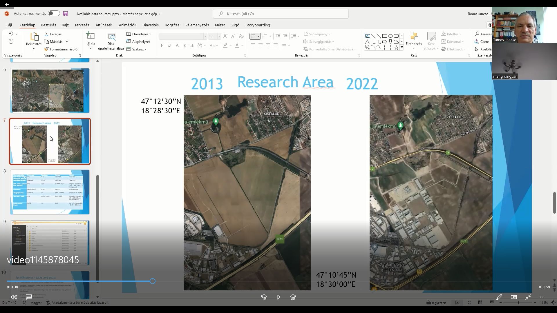
| 8:30 - 9:30 | Available data sources Dr. habil. Tamas Jancsó & Dr. Peter Udvardy Planned GIS platform (ArcGIS and QGIS) (pdf1) (pdf2) Dr. Gábor Nagy & Attila Varga Data integration (pdf 1) (pdf 2) (pdf 3) Dr. Andrea Pődör & Nagyné Dr. Éva Hajnal |
| 9:30 - 10:00 | Relevant PPT presentation of the Chinese side ( Recent research developments at CAS Earth Observation Applications System Engineering Laboratory) Prof. Meng Qingyan and his Team |
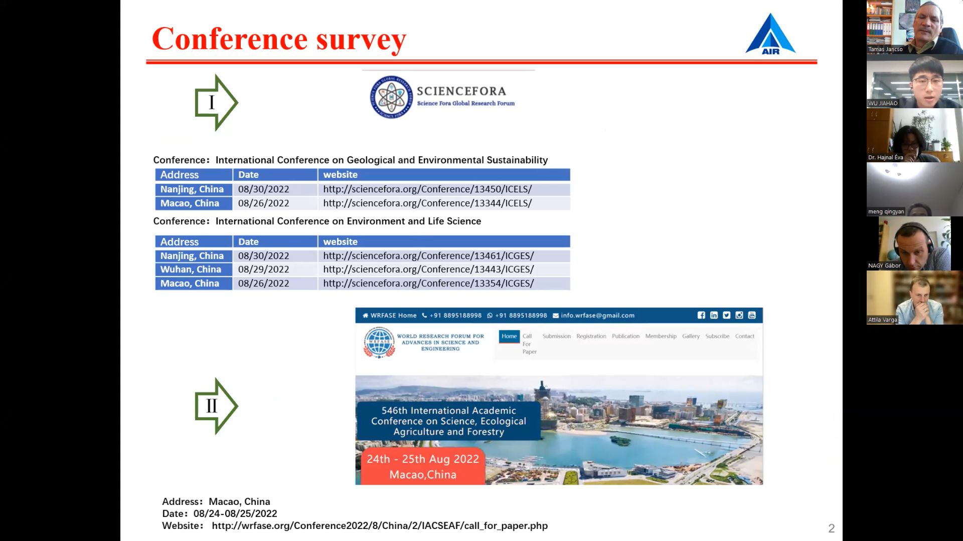
| 10:00 - 10:20 | Planning of mutual visits. Finding a suitable Conference in China |
| 10:20 - 11:00 | Open discussion |
Investigation of the characteristics of surface shapes
in rural environment based on point clouds and remote sensing data
Project ID: 2019-2.1.11-TÉT-2020-00171
| Program | |
|---|---|
| 8:00 - 8:10 | Preparation for the ICGIS Conference Dr. habil. Tamás Jancsó |
| 8:10 - 8:25 | Browsing the collected data Dr. habil. Tamás Jancsó |
| 8:25 - 8:40 | Research Group plan for 2022 Prof. Meng Qingyan |
Investigation of the characteristics of surface shapes
in rural environment based on point clouds and remote sensing data
Project ID: 2019-2.1.11-TÉT-2020-00171
Time: June 6, 2023 12:00 AM Budapest
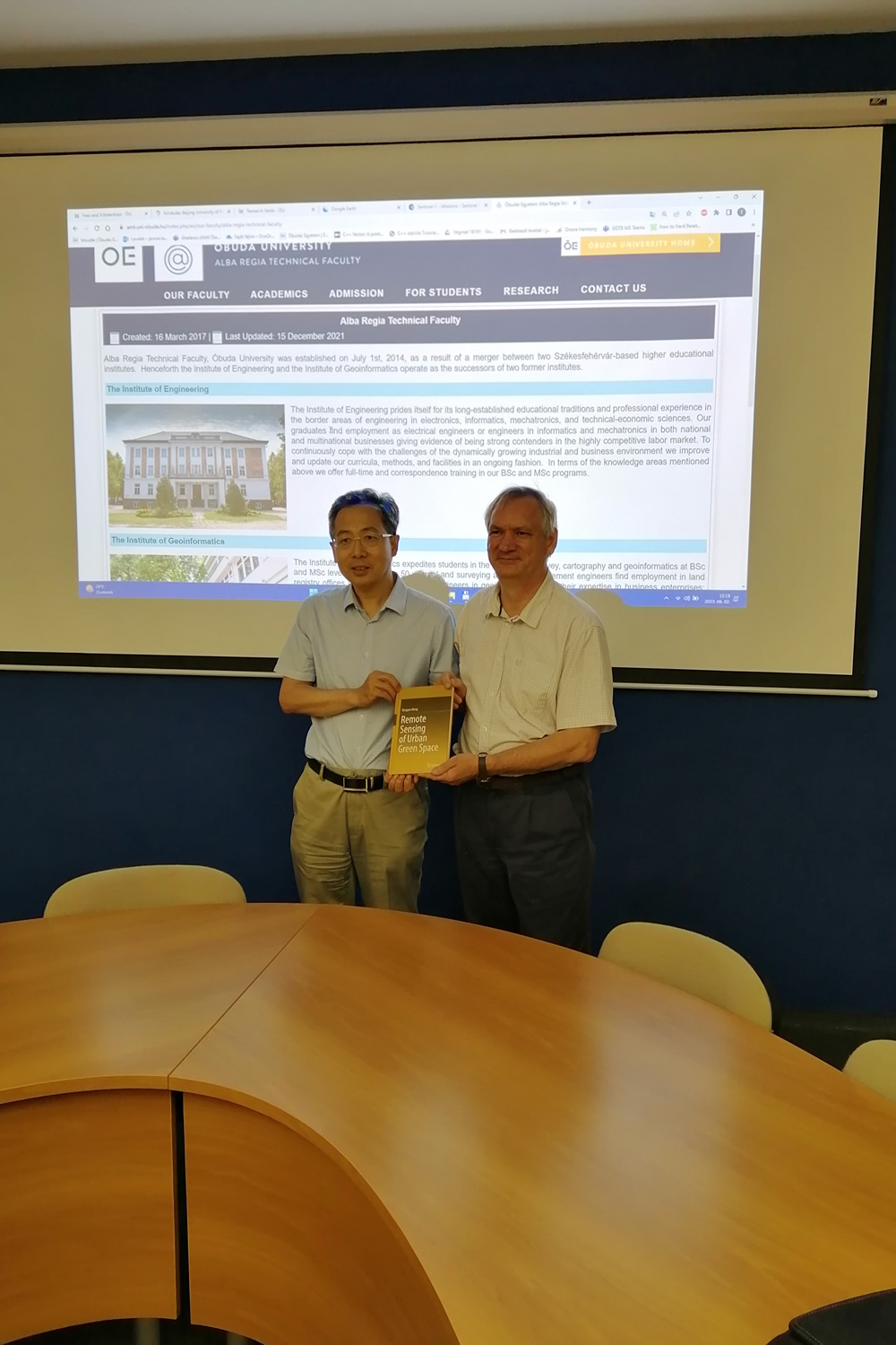
Location: Óbuda University, Alba Regia Technical Faculty,
Székesfefehérvár, Pirosalma u. 1-3., boardroom
| Program | |
|---|---|
| 12:00 - 12:15 | Introduction Prof. Meng Qingyan & Dr. habil. Tamás Jancsó |
| 12:00 - 12:30 | Achieved results according to the Research Plan Dr. habil. Tamás Jancsó |
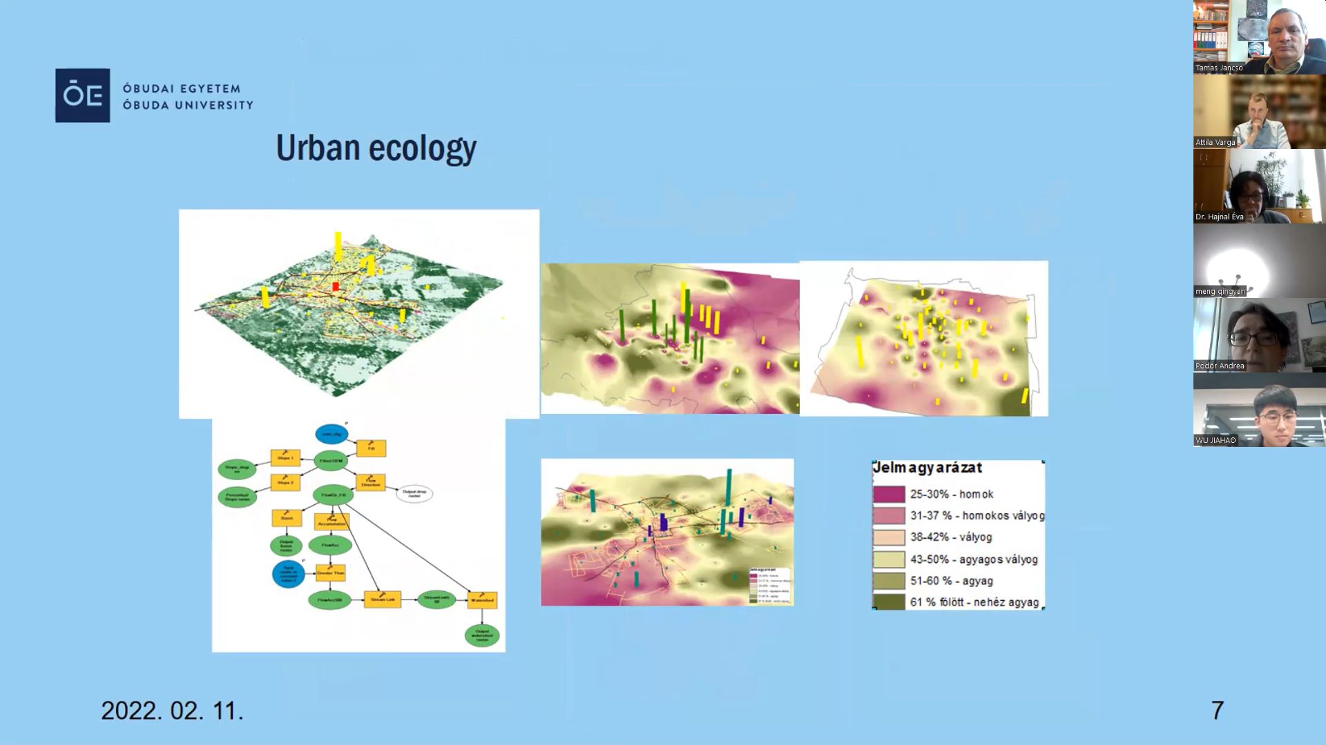
| 12:30 - 13:30 | 1. Gábor Nagy: point cloud classification methods, automated separation of landforms (existing methods, own research) (pdf 1) (pdf 2) 2. Attila Varga - Andrea Pődör: ArcGIS 3d Analyst capabilities, example tasks 3. Attila Varga - Tamás Jancsó: Processing of UAV recordings in agricultural areas 4. Péter Udvardy: Compilation of phenological data sets, construction of a database 5. Éva Hajnal: Presentation of the planned web application 6. Prof. Dr. Qing-yan Meng: Urban Green Space Remote Sensing Multi dimension and Multi angle Perception of Urban Vegetation 7. Wenxu Shi: DSANet: A Deep Supervision Based Simple Attention Network for Efficient Semantic Segmentation in Remote Sensing Imagery |
| 13:30 - 15:00 | Relevant PPT presentation of the Chinese side (Recent research developments at CAS Earth Observation Applications System Engineering Laboratory) Prof. Meng Qingyan and his Team |
| 15:00 - 15:10 | Planning of the visit to China. |
| 15:10 - 15:30 | Open discussion |
Investigation of the characteristics of surface shapes
in rural environment based on point clouds and remote sensing data
Project ID: 2019-2.1.11-TÉT-2020-00171
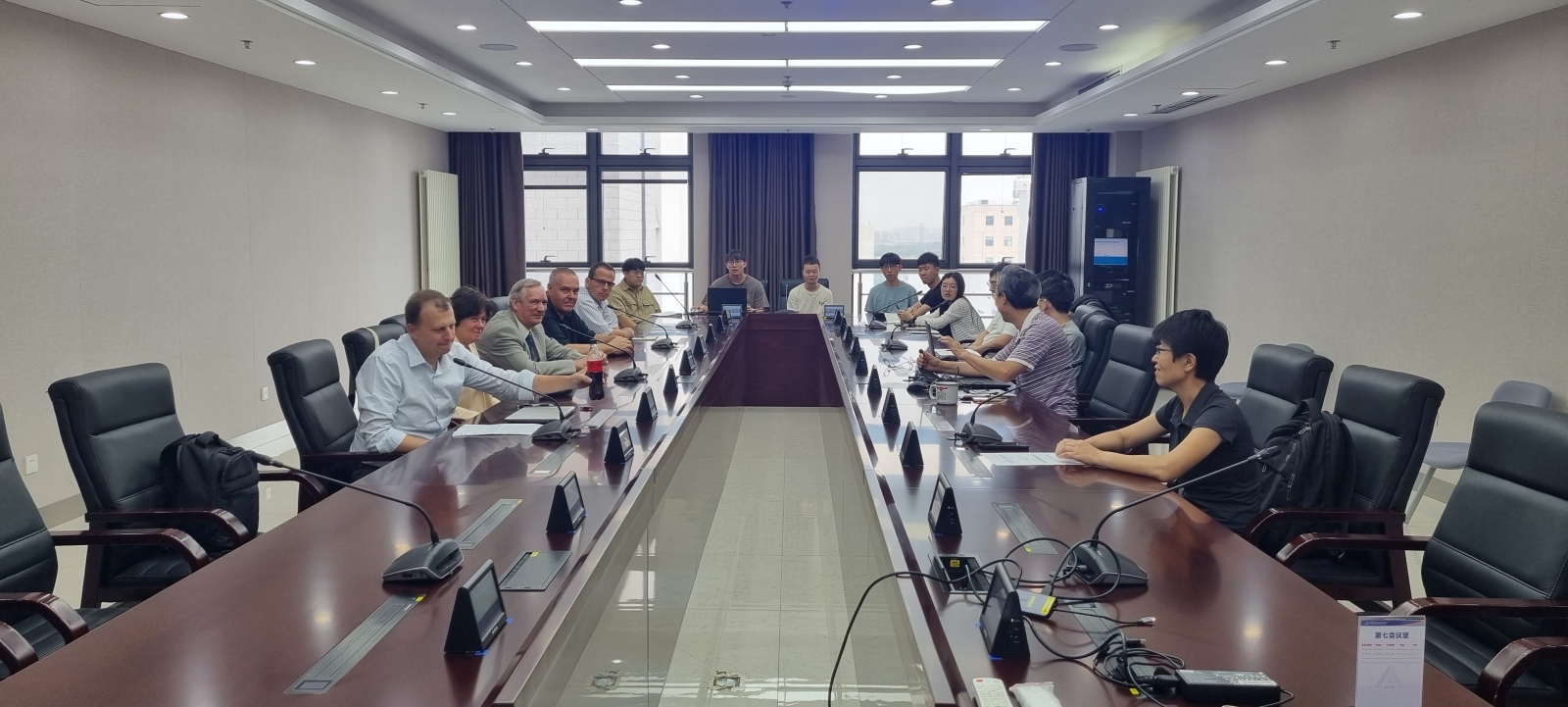
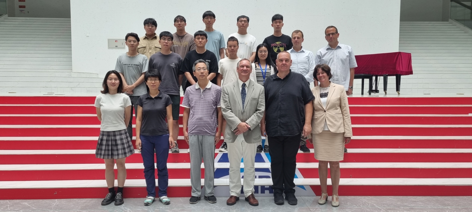
Time: August 27,2023 09:30 AM (Beijing)
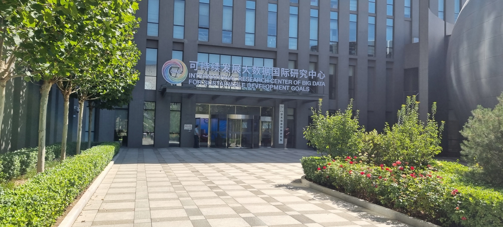
Location: A-Floor10 5th Meeting Room. Aerospace Information Research Institute
Chinese Academy of Sciences, No.9 Dengzhuang South Road, Haidian District, Beijing.
Meeting Link: https://meeting.tencent.com/dm/Er6qDFmMYBv6 (983-478-028)
| Program | |
|---|---|
| 09:30 - 09:50 | Introduction: Dr. habil. Tamás Jancsó & Prof. Meng Qingyan |
| 09:50 - 10:10 | Tamas Jancso - Attila Varga: Comparison of terrain models based on UAS images |
| 10:10 - 10:30 | |
| 10:30 - 10:50 | Andrea Podor - Csilla Varga: 3D modelling of Pátka reservoir and surroundings |
| 10:50 - 11:10 | Éva Hajnal: Technical Report of Data Integration - RuralGIS |
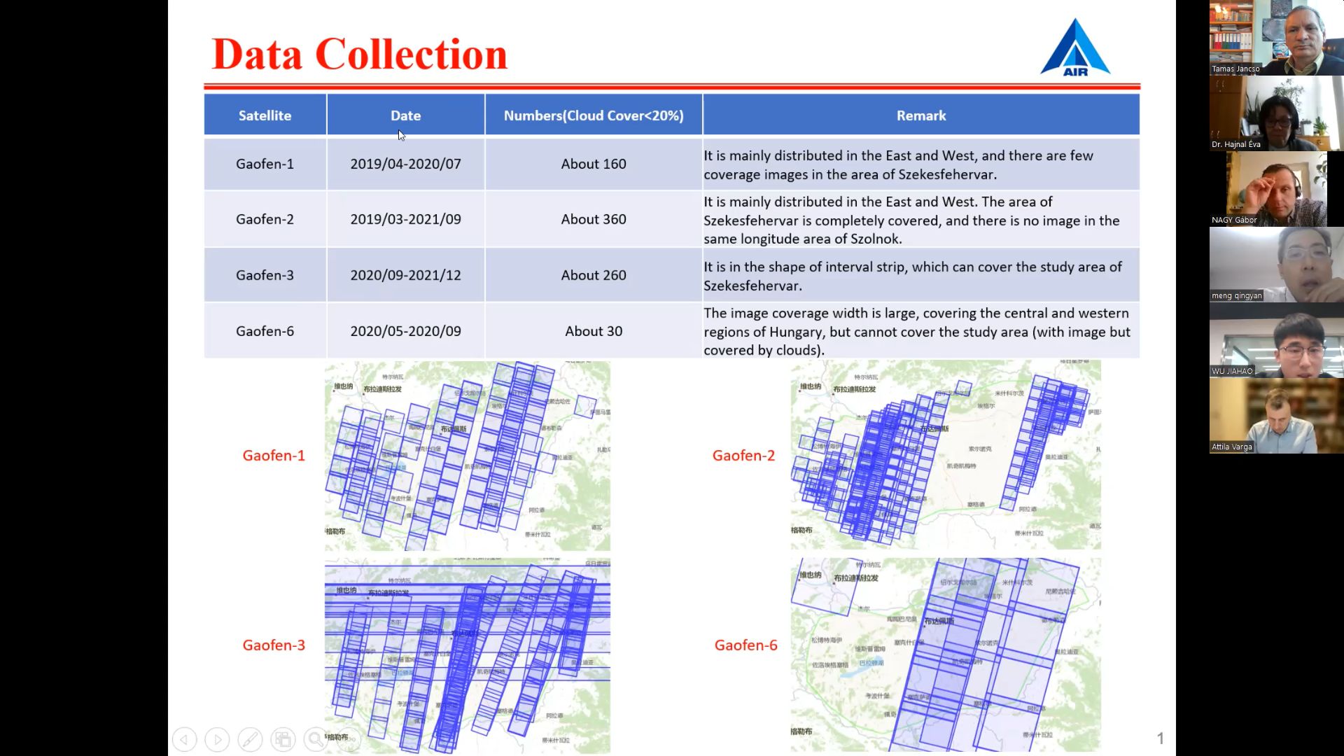
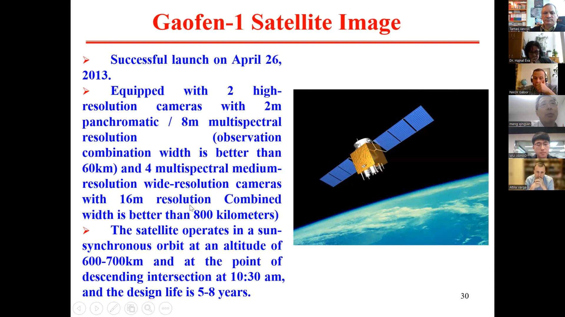
| 11:10 - 11:30 | Gabor Nagy: Introduction to the Sentinel2 System |
| 11:30 - 11:50 | Attila Varga: Earth Observation Information System of Hungary |
| 11:50 - 12:10 | Gabor Nagy: Fuzzy based landform classification |
| 12:10 - 13:30 | Lunch Time |
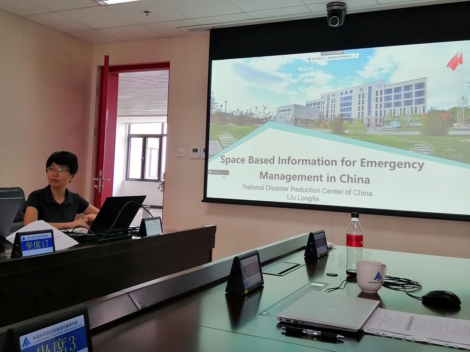
| 13:30 - 13:50 | Long Fei: Space Based Information for Emergency Management in China |
| 13:50 - 14:10 | Cooperation Discussion |
| 14:10 - 14:30 | Meng Qingyan: Deep learning framework for 3D urban vegetation extraction using high-resolution stereo satellite data |
| 14:30 - 14:50 | Tan Xin: HR-UVFormer: A top-down and multimodal hierarchical extraction approach for urban villages |
| 14:50 - 15:10 | Zhao Qikang: Future urban 3D information reveals global aggravating inequitable development |
| 15:10 - 15:30 | Qian Jiangkang: Spatial and temporal characteristics of anthropogenic heat and its environmental impact |
| 15:30 - 16:00 | Open Discussion |